
Destinations
Where to Eat in Seoul: 71 Bib Gourmands Against 42 Stars
The best-value restaurant list in Seoul is not the starred one. Here is how I choose where to eat, and the honest situation at the market everyone tells you to visit.
Twenty-one miles of water an hour north of Houston, almost all of it fronted by private property. The trick is knowing which handful of places will actually let you in.
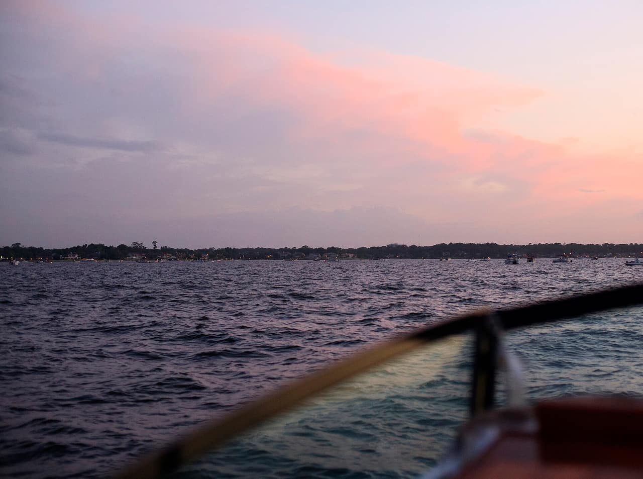
Lake Conroe is 21,000 acres of water an hour north of Houston, and most of its shoreline belongs to somebody. Subdivisions, marinas, resorts and private lots line the majority of the 21-mile lake, which means the practical question is not what to do here but where you are allowed to do it.
There are a handful of genuine public access points. Montgomery County's Lake Conroe Park charges about $5 per person, with children five and under free, and that is the simplest way onto the water without a boat or a hotel booking.
On Highway 105 on the west side. Picnic tables, barbecue pits, restrooms, a swim area and fishing piers. Around $5 per person, under-5s free. This is the default answer for a family day at the lake.
A public swim and day-use area on the north west side of the lake, run in conjunction with the Sam Houston National Forest. Quieter than Lake Conroe Park and more basic.
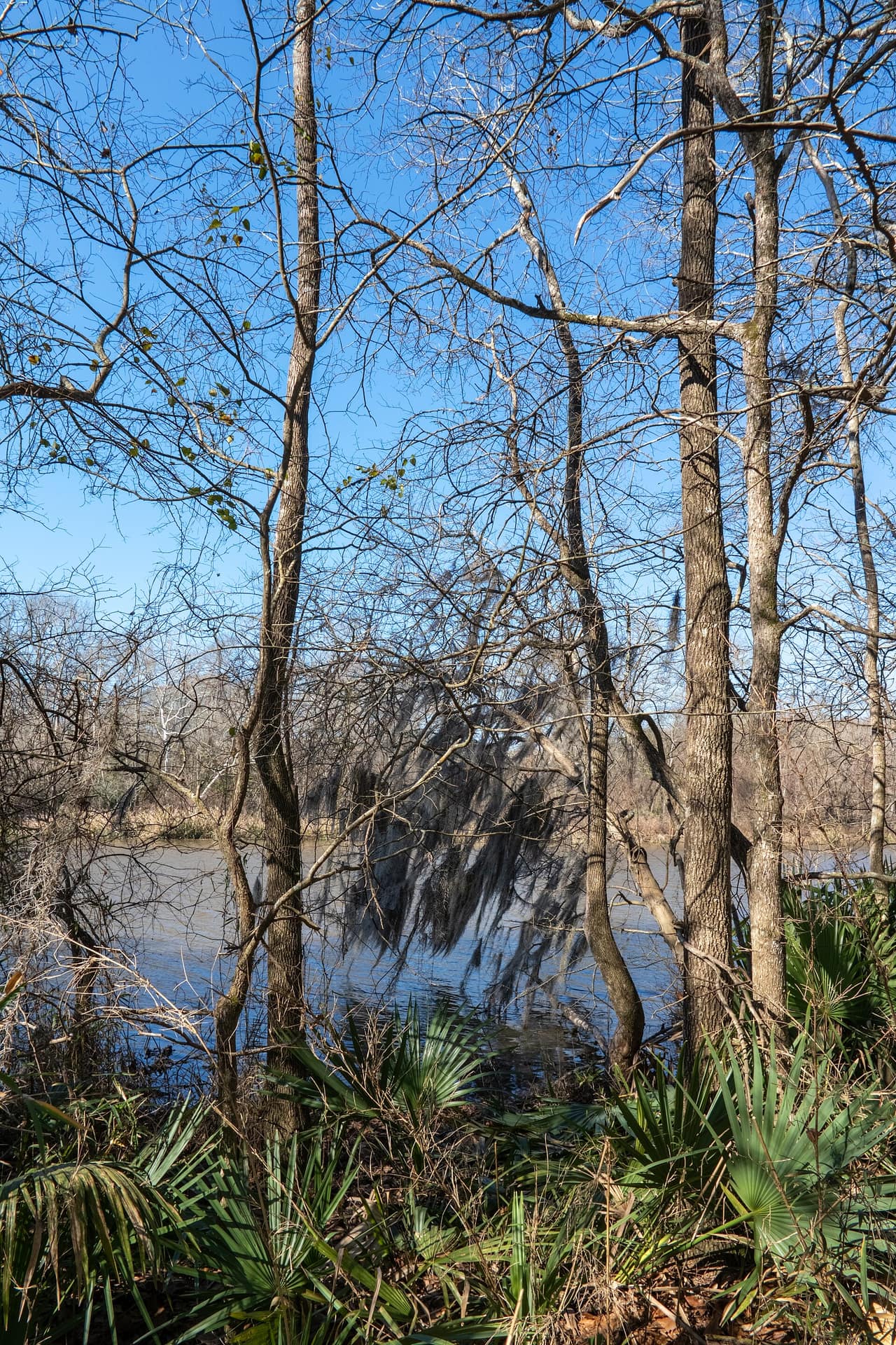
The lake's northern end runs into the national forest, and this is the most interesting shoreline on it. Cagle Recreation Area has camping with lake access. Stubblefield is more primitive. The Lone Star Hiking Trail, the longest continuous hiking trail in Texas at around 96 miles, runs through the forest here.
Forest Service day-use and camping fees apply and are separate from the county park.
Several lakeside resorts sell day passes or allow non-guest access to restaurants and marinas. If you want a boat and do not own one, this is where rental happens. Call ahead: policies vary and change.
Boating and fishing are the reason the lake exists as a recreation destination. It has a reputation for largemouth bass and for hybrid striped bass, and a Texas fishing licence is required for anyone 17 and over. Buy it from Texas Parks and Wildlife before you go.
Paddling works better on the northern end near the forest, where the shoreline is undeveloped and the boat traffic thins out. The main body of the lake on a summer Saturday is not a pleasant kayak.
The Lone Star Hiking Trail is the serious walking, and the section through Sam Houston National Forest is accessible from several trailheads near the lake. Flat, piney and hotter than it looks.
Montgomery, the small town on the west side, has a historic centre and is where the Texas flag was reputedly designed. It is a twenty-minute diversion and a pleasant one.
Conroe itself has a downtown with the restored Crighton Theatre and a growing restaurant scene, which is more than the lake's reputation suggests.
Two questions come up constantly, and both deserve straight answers.
"Is the water dirty?" No. Lake Conroe has never been listed as impaired and is among the cleaner reservoirs in the region. It looks green-brown because it is a Texas reservoir: suspended clay from the watershed, plus seasonal algae. Clear water is a function of geology, not of cleanliness. A limestone spring runs clear and a clay-bottomed reservoir does not, at identical water quality.
"Is it safe to swim?" In designated areas, yes. The real hazards on this lake are not bacteriological:
Texas reservoirs can develop harmful algal blooms in hot, still conditions. Check for current advisories with the San Jacinto River Authority or Texas Parks and Wildlife before swimming in late summer, and do not let dogs drink from or swim in water with visible surface scum.
It was impounded on the West Fork of the San Jacinto River and filled in the early 1970s as a water supply reservoir, not a recreation lake. Water rights are held by the San Jacinto River Authority and the City of Houston, and the authority maintains the lake and dam.
That origin explains a lot about the place. The lake exists to hold water for Houston. Recreation grew around it afterwards, on private land, which is why public access is the constraint it is.
Choosing between lake and coast? Galveston is about two hours south and offers Gulf beaches with their own trade-offs, including a seaweed season and a water colour question of its own. Our Galveston guide compares the three ways to pay for beach access there.
If you are hiring rather than launching your own boat, our kayak rental guide covers the eight questions worth asking at the counter, starting with which way the wind will be blowing when you turn round.
April to May and October to November are the good months. Warm enough to swim, short of the summer heat, and outside the peak boating crush.
June to September is hot: mid-nineties with Gulf humidity, plus the highest boat traffic of the year. Early morning is the only comfortable time to be on the water.
Holiday weekends, especially the Fourth of July, transform this lake. If a quiet day is what you want, it is not that weekend.
Decide whether you need a boat. If you do, book a rental in advance from a marina, because same-day availability on a summer weekend does not exist. If you do not, drive to Lake Conroe Park, pay the $5 a head, and treat the day as a picnic with swimming attached.
If you would rather have the shoreline than the water, go north into Sam Houston National Forest instead. Cagle for camping with lake access, the Lone Star Hiking Trail for walking, and no crowds either way.
About 21,000 acres, 21 miles long and up to six miles wide, on the West Fork of the San Jacinto River. Average depth is around 20 feet with a maximum near 80 feet.
Yes. It has never been listed as impaired and is regarded as one of the cleaner water bodies in the region. It looks green-brown because it is a Texas reservoir carrying suspended clay and algae, which is what water in this part of the state looks like. Colour is not a measure of water quality.
In designated swim areas, yes. Away from them the hazards are boat traffic, submerged timber left from the original river valley, and steep drop-offs. Most incidents on this lake involve boats and alcohol rather than water quality.
Montgomery County's Lake Conroe Park charges about $5 per person, with children five and under free. It has picnic facilities, barbecue pits, restrooms, a swim area and fishing piers.
Man-made. It was impounded on the West Fork of the San Jacinto River and filled in the early 1970s as a water supply reservoir. Water rights are held by the San Jacinto River Authority and the City of Houston, and the authority maintains the lake and dam.
Lake Conroe Park on Highway 105, Scott's Ridge on the north west side, and the day-use areas within Sam Houston National Forest at Cagle and Stubblefield. Most other shoreline is private or attached to a resort.
About an hour north, depending on where in Houston you start and what I-45 is doing. Conroe is the nearest city and Montgomery the nearest town to the west shore.
The best-value restaurant list in Seoul is not the starred one. Here is how I choose where to eat, and the honest situation at the market everyone tells you to visit.
Three days is the right length for Rome and the tickets are where people lose money. Two official sites, two mandatory fees, and a route that avoids crossing the city twice.
Seoul had a record 10.71 million visitors in the first half of 2026, and the city answered with rules that carry fines. Here is what the sights cost, which days they close, and the neighbourhood where arriving at the wrong hour is a fineable offence.